 |
||
Home > TERATEC FORUM > Workshop 4
Workshops
Wednesday June 23
Satellite data dedicated to environment and climate: Digital twins ahead
Chaired by Laurent Boisnard, Sous-directeur adjoint, CNES and Christelle Loiselet, Expert engineer, BRGM
|
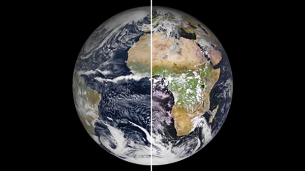
With massive aggregation of satellite observation data and proliferation of applications in a wide array of fields (ocean meteorology, coastal dynamics, precision agriculture, geology, continental hydrology, urban mapping, etc.), the 2020 workshop aimed to exemplify this dynamics through a number of projects involving public and private actors around data access infrastructures, analytics production services, and virtual laboratories supported by intensive processing environments. At the heart of our effort to structure access along with valuing data, two national and European initiatives were highlighted: the Data Terra Research Infrastructure and the DIAS Wekeo Copernicus.
With similar outline aiming at a very rich technological and applicative landscape, the 2021 workshop will be the opportunity to address the emergence of digital twins, identified among the major trends of the coming decade. Already established in the industrial landscape, digital twins couple simulation and continuous data assimilation to reproduce modeled object as closely as possible, and when applied to the Earth system, they transform our capacities for analysis, prediction and anticipation for collective decision-making. The European Commission's Destination Earth initiative is a step forward to this direction, in line with many players reflecting and already working on common building blocks for these twins: technological stacks for data assimilation, contributing models, processing or visualization standards, and the development of reasonably realistic use cases in the geosciences or in the commercial downstream sector. Among our topics for the workshop, this theme will serve as one common thread to gather approaches and perspectives from participants.
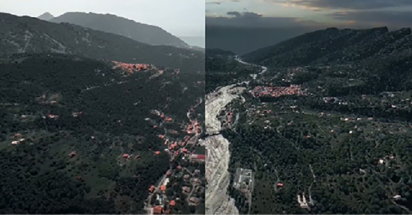
In order to meet our theme on environment and climate, the workshop was the occasion to talk about ocean physics, forest fires, and to present in particular the use case of soil mapping and water management of the AI4GEO project (platform for large-scale production of signifying 3D data).The Spatial Climate Observatory (SCO), intended to become a tool to help territories adapt to the impacts of climate change, combining modeling capabilities, satellite data, field data and socio-economic data, will also be featured. Two projects have been presented, in two fields capturing the approach (proposing action scenarios): study of urban heat islets and safeguarding of rice fields in Vietnam. Officially launched in 2019, mobilizing global expertise, the SCO is in line with the Paris International Agreements and the 2030 Agenda for Sustainable Development.
With the participation of :
|
|
|
|
|
|
|
|
![]()
Register now and get your badge here
- TERATEC Forum is strictly reserved for professionals.
- Participation to exhibition, conferences and workshops is free
- On line registration is obligatory.
![]()
For any other information regarding the workshops, please contact :
Jean-Pascal JEGU
Tel : +33 (0)9 70 65 02 10
jean-pascal.jegu@teratec.fr
Campus TERATEC
2, rue de la Piquetterie
91680 BRUYERES-LE-CHATEL
France
![]()